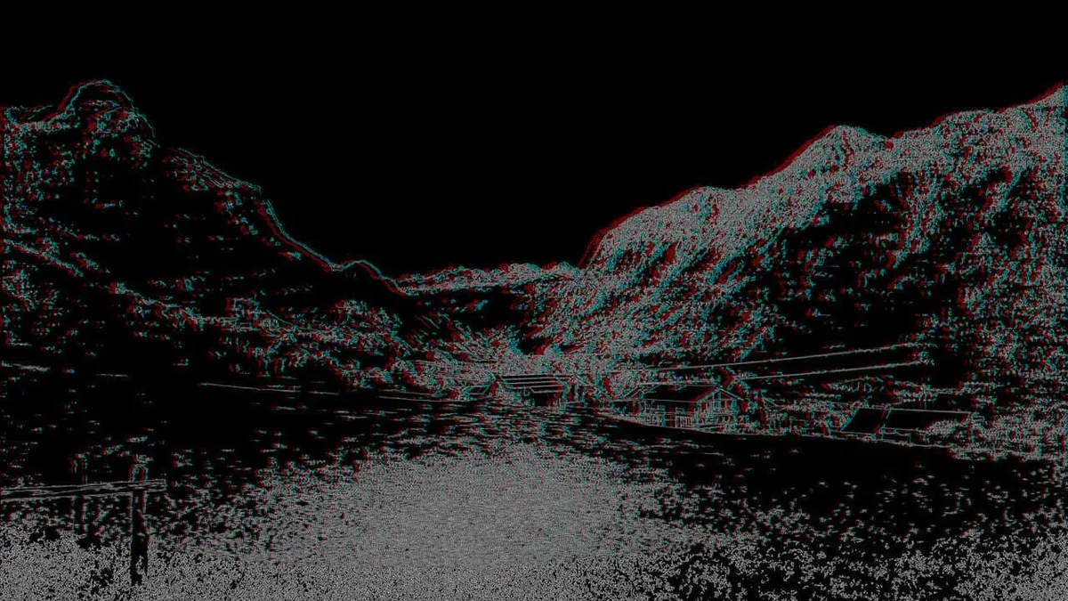
Image Processing
Building tools for image processing techniques
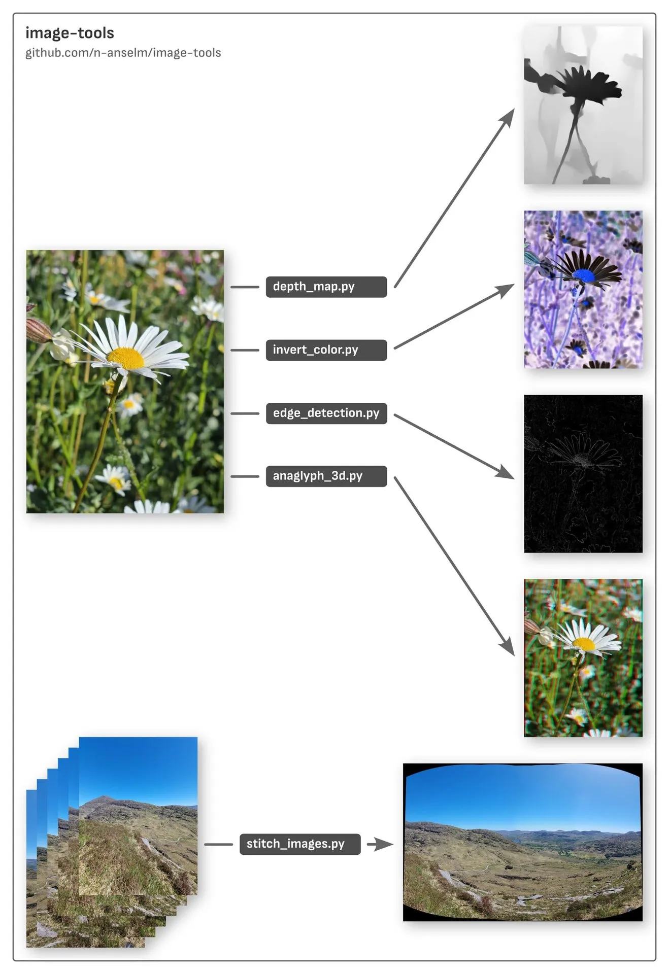
I’ve been working on a personal experimental toolkit for exploring image processing techniques.
This toolkit is made up of Python scripts, created by my OpenCode agent. Everything is open source and available on the repo here: https://github.com/n-anselm/image-tools
There’s a possibility this will also support gaussian splatting and photogrammetry workflows in the future.
Update - point clouds
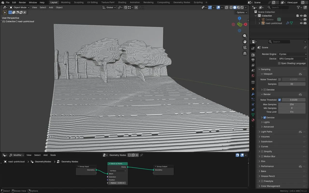
image-tools is now capable of creating 3D point clouds.
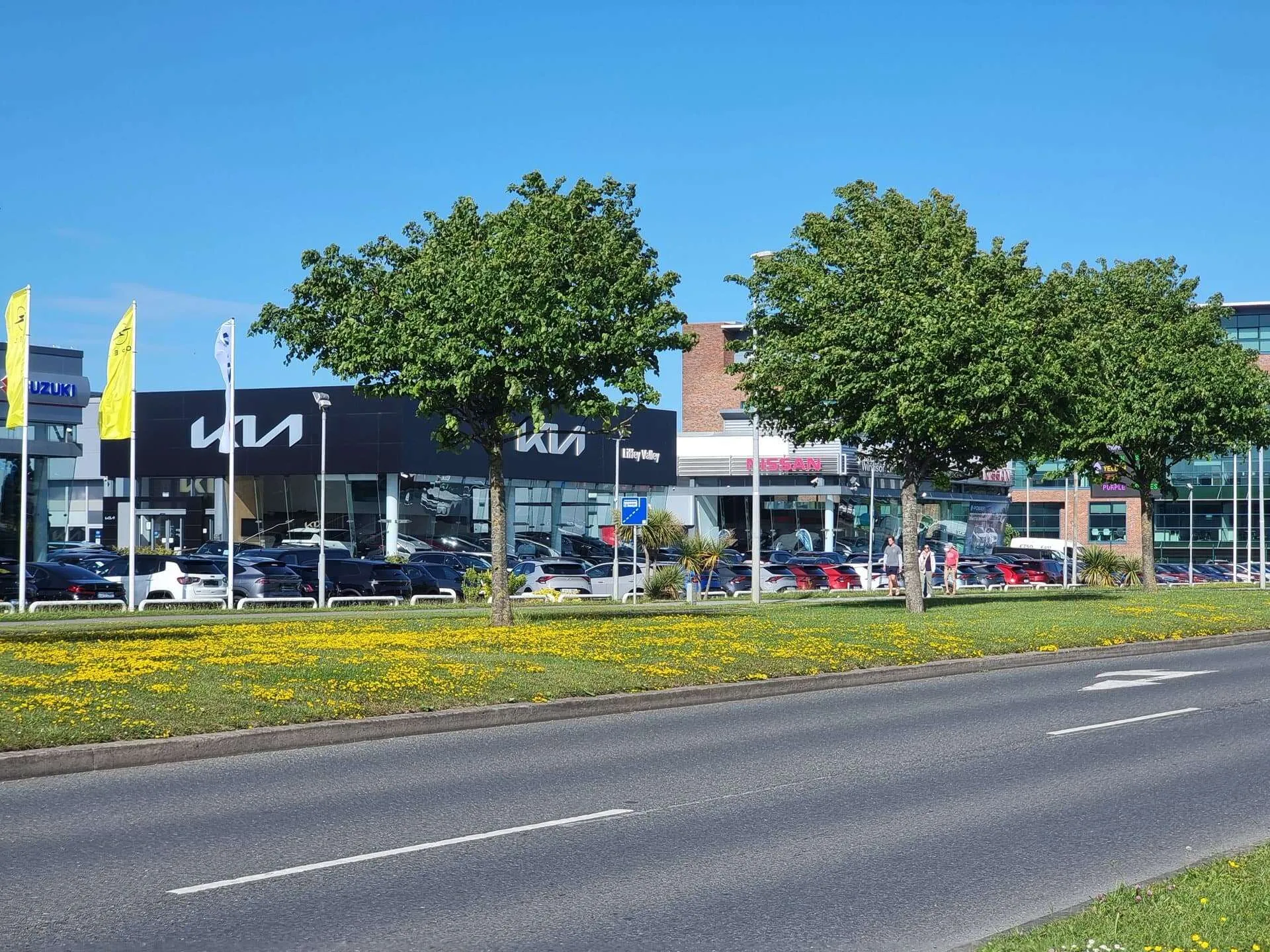
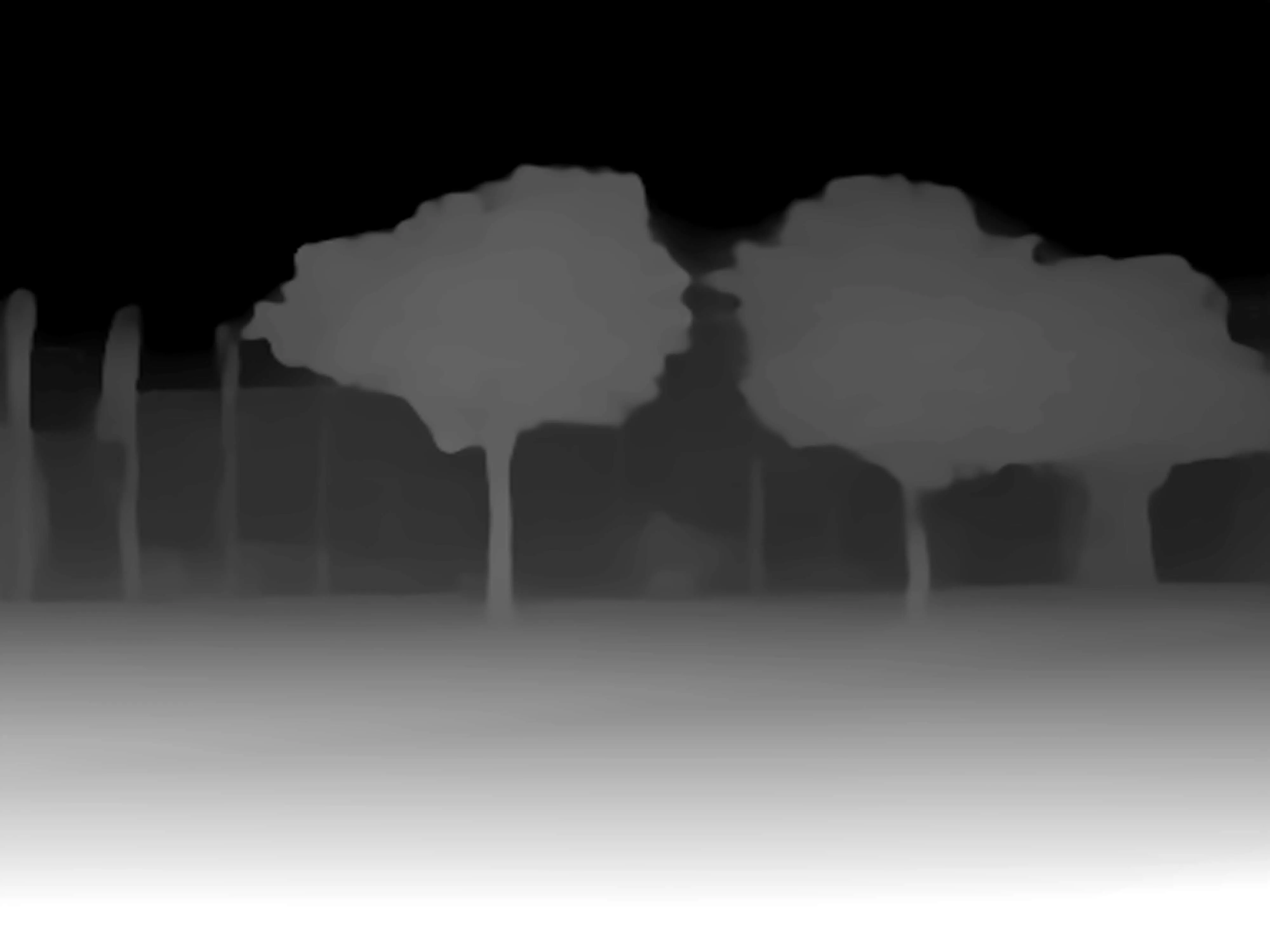
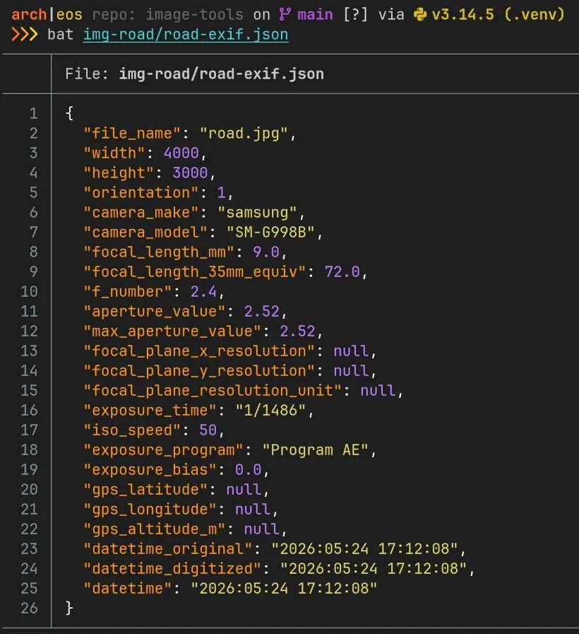
Within seconds, point_cloud.py creates a depth map (if none is auto-detected), extracts image EXIF data, then generates a point cloud (.ply file) which can be opened in Blender.
It’s still very basic, and the point cloud usually isn’t great (since it’s generated from a single image), but it’s exciting to be able to get so far with a simple workflow.